#1 Rated In The UK
Agriculture Drone Survey
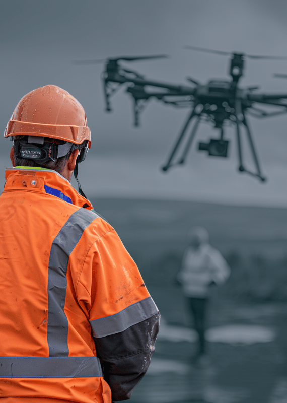
We specialise in professional commercial-grade agricultural drone surveys for UK farms looking to optimize their farming operations. With our drone survey services, you can stay ahead of potential issues, optimize your crop yields, and improve your farm’s profitability.
Helping UK Farmers Nationwide Make Informed Decisions
UK’s Leading Drone Farm Surveying Company
We are reshaping the UK’s landscape of agricultural management. Leveraging our deep-seated expertise in drone precision agriculture, crop surveillance, remote sensing, and an array of other cutting-edge technologies. We provide farmers with critical insights, empowering them to make well-informed decisions about their land management strategies.
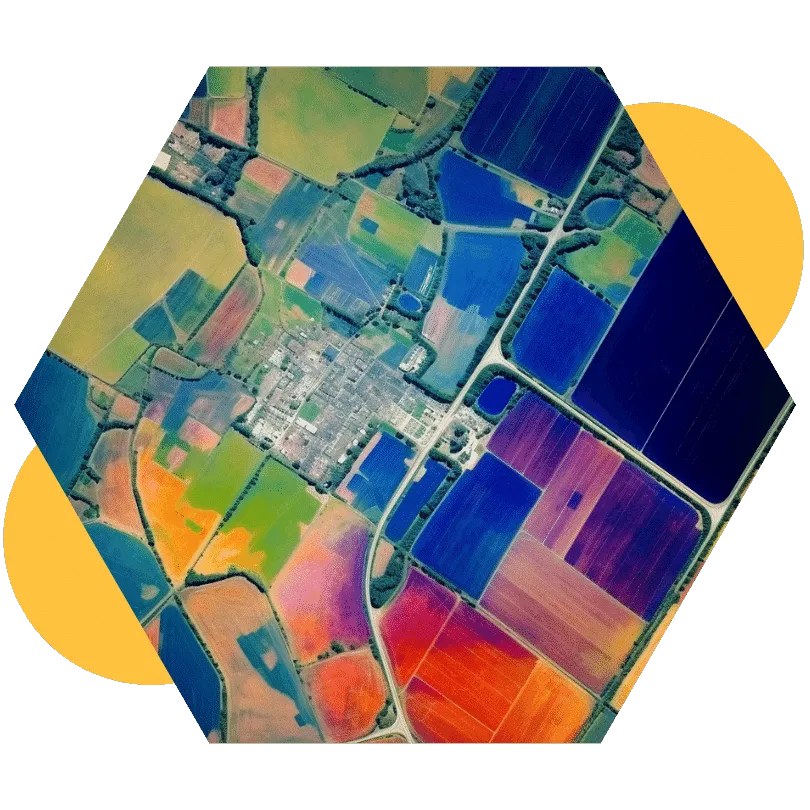
We utilise sophisticated tools like NDVI analysis, multispectral and thermal imaging, enabling farmers to pinpoint specific areas on their farms that warrant attention.
Trusted by Brands Demanding Unrivalled Accuracy
Contact Us for a Same-Day Quote!
Agricultural Drone Survey
What Is Agriculture Drone Services?
Agriculture drone services refer to the use of drones for various agricultural applications, such as crop mapping, soil analysis, crop monitoring, and crop spraying. These services provide farmers with real-time data and aerial views of their crops and land, enabling them to make informed decisions about crop management and improve yields.
Agriculture drone services are increasingly popular due to their efficiency, accuracy, and cost-effectiveness compared to traditional methods.
Request a Quote
Defining the UK Drone Landscape
Remote Sensing Farm Technology
Our remote sensing technology collects critical data on temperature, moisture content, and vegetation cover to provide farmers with detailed insights. With advanced drone technology, we generate high-resolution images and detailed reports.
By analysing vegetation cover data, we can identify areas requiring additional irrigation or nutrients, helping farmers stay ahead of potential issues and optimize crop yields.
Contact us today to learn how remote sensing can benefit your farming operations.
Making Important Decisions with Confidence
Benefits of Using
Drones on UK Farms
Crop Yield Estimation
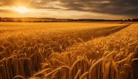
Crop yield estimation involves using drones to collect data that can be used to predict crop yields. By analysing factors such as plant height, plant density, and other variables, We can provide farmers with accurate estimates of their crop yields.
This service can help farmers to plan for harvest season and make data-driven decisions about how to manage their crops.
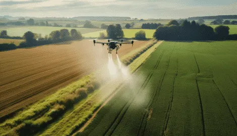
Drone Precision Crop Spraying
Our drone are a highly efficient solution for crop spraying, making it possible to apply liquids quickly and precisely. Our sophisticated equipment, such as radar and LiDAR, our drones can easily adjust their altitudes and flight paths according to the surrounding topography and geography. Enabling us to scan the ground and apply liquids with great precision.
Crop spraying by drones can be up to five times faster, improving application timeliness, reducing the need for skilled labor, and cutting the exposure of handheld sprayer operators to harmful pesticides.
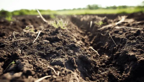
Soil Analysis
Our Soil Analysis service is a comprehensive solution designed to help farmers understand the health of their soil and optimize their crop management practices. Our advanced drone technology collects crucial data about the soil on your farm, including nutrient levels, pH, and moisture content. By analysing this data, we provide farmers with detailed information about the health of their soil, which they can use to optimize their fertiliser and irrigation practices.
Maximise Your Crop Management Practices
Remote Sensing Farm Technology
Our remote sensing technology collects critical data on temperature, moisture content, and vegetation cover to provide farmers with detailed insights. With advanced drone technology, we generate high-resolution images and detailed reports.
By analysing vegetation cover data, we can identify areas requiring additional irrigation or nutrients, helping farmers stay ahead of potential issues and optimize crop yields.
Contact us today to learn how remote sensing can benefit your farming operations.
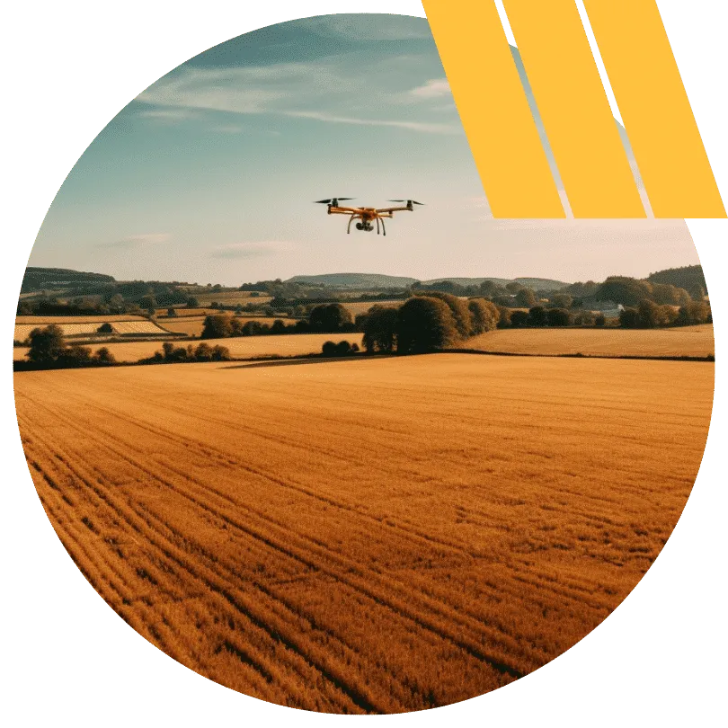
Optimise Crop Health, Irrigation, and More
Elevate Your Farming Operations
With Our Drone Services
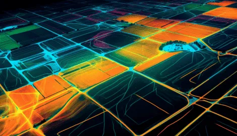
Advanced Aerial Farm Mapping Services
Farmers can easily identify areas that require attention, such as those with drainage issues or uneven terrain, by analysing this data, and make more informed decisions about how to manage their land.
Your desired data output provides you with actionable insights that can help you optimise your crop management practises, resulting in higher yields.
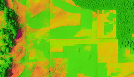
NDVI (Normalised Difference Vegetation Index)
NDVI is a commonly used index to evaluate the health and growth of crops. By capturing NDVI data using drones, We can provide farmers with detailed information about the health of their crops, including areas of stress or poor growth.
This service can help farmers to make data-driven decisions about how to manage their crops, ultimately leading to better yields and quality.
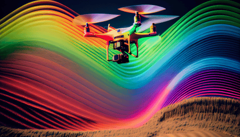
Multispectral Imaging Farm Soil Surveys
Multispectral imaging involves using drones to capture images across different parts of the electromagnetic spectrum. By analysing these images, We can provide insights into various aspects of crop health, such as chlorophyll content, plant height, and water stress.
This service can assist farmers to identify potential issues early, allowing them to take action to optimize crop yields.
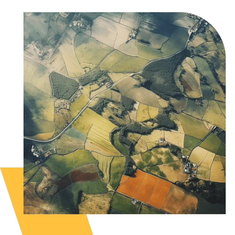
Maximising Accuracy with Drone Mapping
Say Goodbye to Outdated Low Detail Satellite Imagery
Our drone crop monitoring service provides farmers with a cutting-edge solution to optimise crop yields. Unlike traditional satellite imagery, which can be costly, imprecise, and hampered by poor weather conditions, our custom agricultural drones offers a more accurate, affordable, and up-to-date monitoring solution.
With our drone crop monitoring service, we can capture ultra high-resolution images of your crops and generate detailed reports that offer valuable insights into crop development, identifying areas that may require additional attention.
Our drone technology helps farmers highlight inefficiencies and ineffective practices, enabling them to optimize their crop management practices for maximum yield potential.
Revolutionise Your Farming Operations
Advanced Aerial Planting Services
Our aerial planting service provides farmers with an innovative and cost-effective solution to planting activities. With the development of drone-planting systems, we aim to revolutionise traditional farming methods by providing farmers with a more efficient and technical solution.
Specialised drones use compressed air to fire seed pods directly into the ground. Avoiding the significant labor costs associated with traditional planting methods.
Our aerial planting service provides farmers with a fast and efficient solution to planting, enabling them to focus on other important aspects of their farming operations.
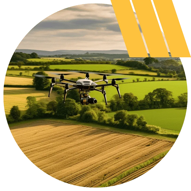
Optimise Your Agricultural Water Use
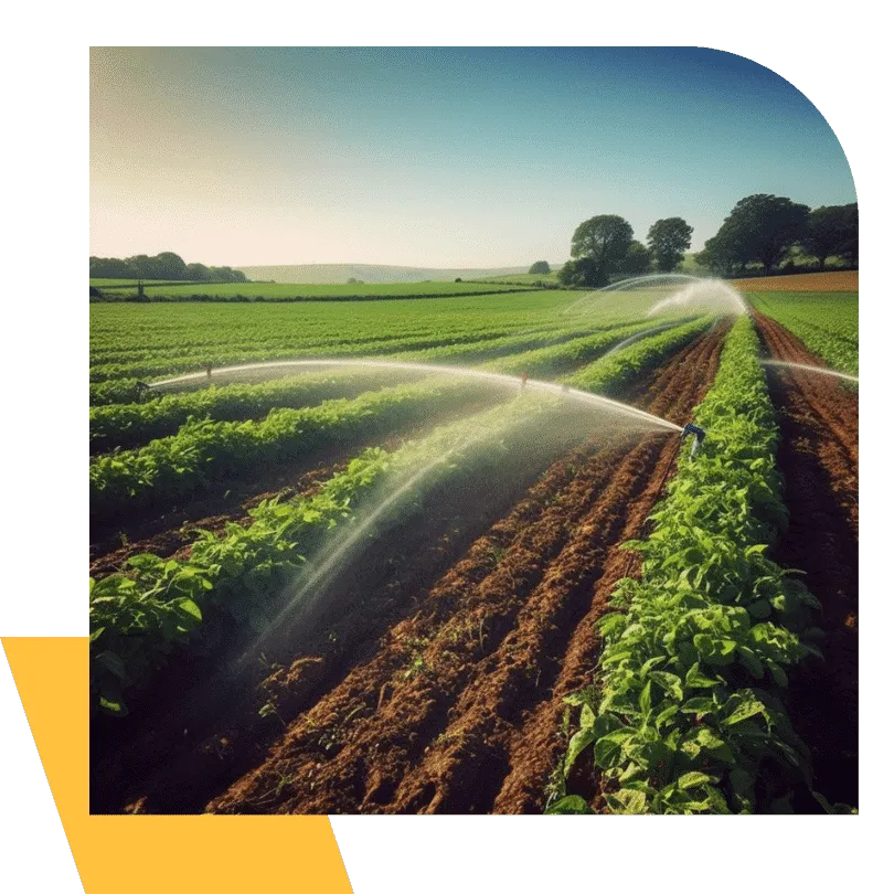
Agricultural Irrigation Management Efficiency
Our drone-based agricultural water management service provides farmers with a solution to optimise water use and increase crop yields. Leaky irrigation systems and wasteful field application techniques are two factors contributing to inflated agricultural water use figures, and both can be addressed by our specialised drone monitoring equipment.
By using infrared and thermal sensors, our drones can capture high-resolution images of entire fields, providing detailed insights into areas experiencing hydric stress (inadequacy of water of sufficient quality).
Our drone technology allows us to diagnose areas receiving too much or too little water, enabling farmers to adjust their irrigation practices to optimize crop growth and minimise water waste.
Our specialised drone monitoring equipment is an effective, efficient, and cost-effective solution for managing agricultural water use.
Multiple Spectral Bands Analysis
Enable Insurers to Expedite Assessment
Our drone technology offers significant benefits for crop insurers, providing a more efficient and accurate assessment of insurance claims.
Our aerial surveillance and mapping services enable insurers to expedite the assessment, timing, and accuracy of any payment and indemnities payable under certain agricultural insurance policies, such as prevented planting provisions.
With our drone technology, crop insurers can make more informed decisions about their claims, ensuring that farmers receive the compensation they are entitled to in a timely and accurate manner.
